December 17 – Snow squalls Wednesday PM; Frigid Thursday
The nasty snow/sleet/ice/rain storm that has been bothering Southern New England on Tuesday will slowly wind down overnight. A coating of snow is possible as the storm slowly moves away. It will be icy Wednesday morning, so be careful when you step out the door.
The temperature will get warm enough to melt some of the ice at midday Wednesday before a strong cold front brings scattered snow squalls in the afternoon in Connecticut and early-evening in Rhode Island. Not everyone will see squalls (think of them like scattered t-storms), but those who do could get a quick coating of snow or at least lowered visibility. It will turn frigid Wednesday night as the wind picks up and gusts to nearly 40 mph.

Look for lows in the teens on Thursday morning, but it will feel like zero because of the howling winds. Highs will only be in the low-mid 20s on Thursday – even with some sunshine. It will feel even colder than that, though, because of the wind.
It’s frigid and less windy Thursday night before a very slow warming trend heading into the weekend. It may get to 30 on Friday, but not really any warmer than that. Saturday could reach the mid 30s – if we’re lucky. It will stay dry through the weekend with highs in the low 40s Sunday and mid 40s early next week.
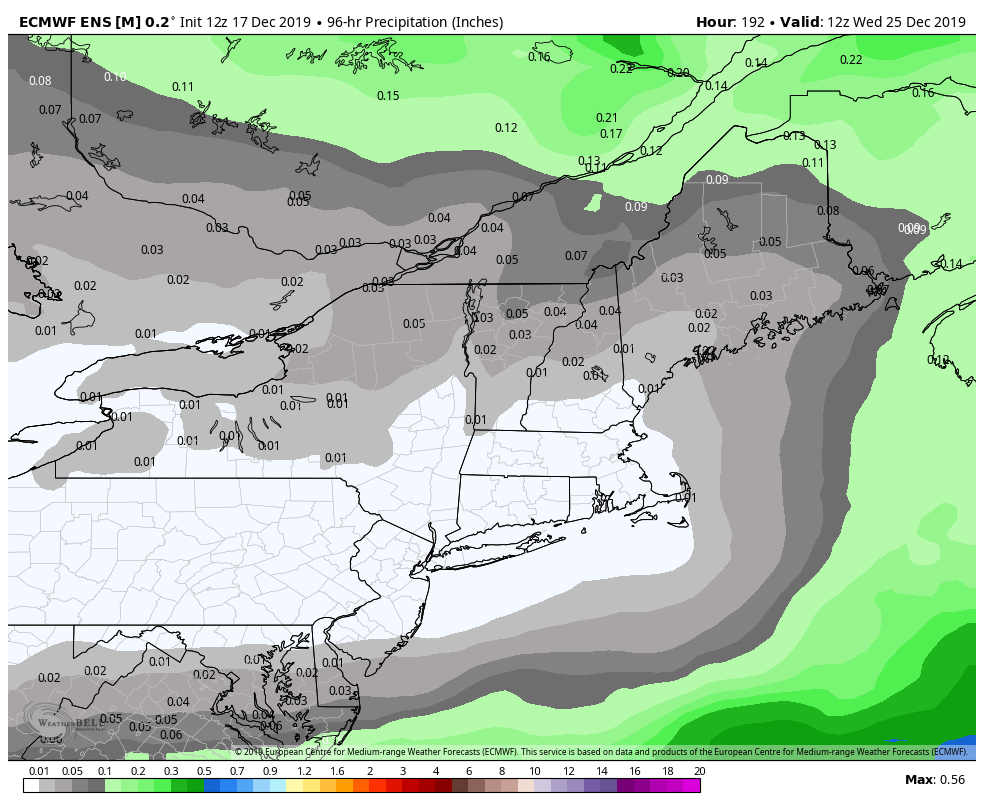
What’s the early-early outlook for Christmas Eve and Day? Right now it looks dry with highs in the 40s on Christmas Eve before it falls into he 20s at night. Christmas Day also looks dry. The one thing I’ll be watching is a storm out in the Atlantic Ocean off the Southeastern US coast. It could be drawn north and in our direction, but that’s not highly likely.


