Top weather events of 2012 in Southern New England

The first half of 2012 was relatively benign in Southern New England. There were very few, if any, major weather events, and the first several months of the year were highlighted by very warm weather. The second half of the year saw several wild weather events, including one of the biggest weather disasters to hit the Northeast in decades.
January-February: Where’s winter?
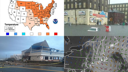
The winter of 2011-2012 was the second warmest on record for all of New England, except Maine where it was the third warmest. The temperature in Providence, RI averaged more than 4° warmer than normal in December, January, and February. There was also a noticeable lack of snow, with Providence totaling a mere 17.8″ for the entire season, 16″ shy of the normal. The total in Boston was 9.1″, barely missing the record for least-snowy winter (9″) set in 1936-37. The snow drought wasn’t as pronounced in interior Southern New England, with most areas receiving 60-65% of the normal amount of snow.

February-Mid-April: A mini drought
The very warm weather continued in March. In fact, it was the warmest March on record in Rhode Island and many other spots in the Eastern United States. Spring arrived with some summer-like weather in Southern New England. The high temperature was above 70° for a five-day stretch from March 19-23, with the mercury peaking at 81° on March 22. The warm weather was accompanied by a noticeable lack of precipitation. February and March were both in the top-10 driest on record in Southern New England. 30-35% of the normal precipitation fell in those months and a severe drought developed for most of Southern New England by mid-April. Thankfully, beneficial rain arrived on April 22, with more than 3″ falling in two days in the Providence area. The rainfall pattern has been close to normal since then, and, for the year, Providence has received about 87% of the normal precipitation.


