Regardless of what happens for the rest of the winter, it will go in the books as a snowier than normal winter in the Providence area. One massive blizzard can do that, and the Blizzard of 2013 is doing quite a bit to make the Right Weather seasonal forecast look pretty darn good. In case you’re new to Right Weather Pro, here is what we called for back in late-November.
Working our way up from the bottom of the list…
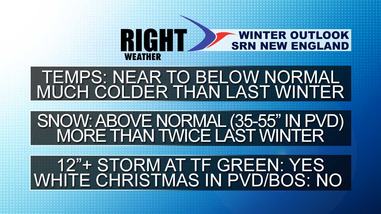
- There was no white Christmas in Providence or Boston. It snowed a bit on Christmas morning, but not enough (1″) for the official white Christmas records.
- The Blizzard produced about 18″ of snow at TF Green Airport. So far, the official total has been reported as 16.6″, 17″, and 17.1″, but I heard from the NWS today that the final total will like by 18″ – tied for 6th all-time! So, chalk up a win for the forecast of a 12″+ storm at TF Green Airport. Climatologically, it happens once every five years.
- TF Green currently sits at 35.5″ of snow for the season. That has our forecast sitting pretty, with a lot of wiggle room to still remain in the 35-55″ range. Last winter, the Providence area received 15-20″ of snow.
- The temperature forecast hasn’t been as good, but February is making one heck of a late run at salvaging it. The first two months of the winter were about 4° and 2° warmer than normal respectively. February will have to be 6° colder than normal for our forecast to verify. So far, it’s been about 4° colder than normal. In any event, there has been decided flip from mild to cold in the past few weeks, and it has been much colder than last winter.
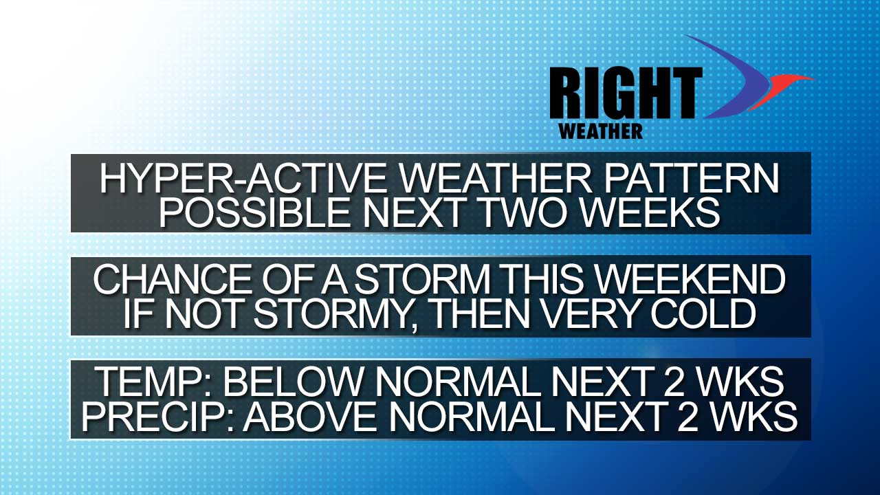
On to the forecast for the next two weeks…
- Feeling fairly confident about some light to moderate snow in the midweek – particularly Wednesday night into Thursday morning. The first-look accumulation map is available here.
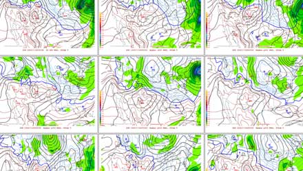
- There is potential for something to form near the Northeast this weekend. The European model which won another Super Bowl with the blizzard this weekend, is not forecasting a major storm. The other storms the Euro kicked but on were Sandy and Isaac. The GFS, however, is forecasting a major wintry weather event in the Northeast. The Canadian is also forecasting a storm, but it is too far inland for snow in RI and SE MA. The bottom line is the Euro while not currently forecasting a storm, still has a deep trough in the Eastern US. It’s a setup that favors stormy weather, and it’s possible the Euro will come around. If the storm forms a bit too far out to sea to have an impact in New England, we should consider it a bullet dodged given the weather setup. Even without the big storm, the Euro still delivers 2-4″ of snow on Saturday.
- The weather pattern will likely stay very active for the next 10-14 days. The exact storm track is in question, but there should be a few more shots at snow before the last week of February.
- Overall, the pattern looks cool to cold in the Northeast. It may not be the 6° below normal that we need for the winter forecast to verify, but the odds of February finishing above normal for the month are very low.