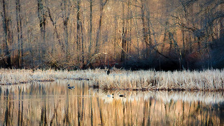
A cold and decidedly winter wind was blowing Thursday evening in Southern New England. Wind chills were in the teens with temperatures in the 20s. Friday morning will feature temps in the teens to low 20s, and wind chills in the single digits to low teens. The wind will relax a bit early Friday before picking back up to 15-30 mph in the afternoon. It will be partly sunny and, overall, not that much different than Thursday afternoon. The high temperature should be a few degrees warmer – reaching the low 40s in most spots.
Quiet, cool weekend
There are no big weather concerns for this weekend. It will not be warming up much, with highs only in the low 40s again on Saturday. It will be dry and cool for the 57th Annual Newport St. Patrick’s Day Parade on Saturday. There should not be as much wind on Saturday. It will get breezier on Sunday, and the temperature should be similar to Saturday. Highs will be in the low 40s with partly to mostly sunny skies. The normal high at this time of the year is creeping toward 50°.
Wintry mix to rain late-Monday into Tuesday
Another chilly area of high pressure crests overhead Sunday night into Monday. The sky should be mainly clear with lows in the low to mid 20s Monday morning. Look for increasing clouds on Monday as a storm moves from the Midwest to the Great Lakes on Monday. Highs will be in the upper 30s to low 40s on Monday. Since there will be a fair amount of cold air in the Northeast, the storm may bring a period of snow before a change to rain in Southern New England Monday night. The transition to rain may take a few hours inland, and that could allow for some snow accumulation before a change to sleet/rain.
Tuesday looks raw and rainy from the coast to Providence, with a wintry mix changing to rain farther inland. It will be another unseasonably cold day. The high temperature may not reach 40° in Providence on Tuesday. The good news is spring officially arrives on Wednesday morning. The bad news it will not feel like it! The first few days of spring are likely to be blustery and chilly as another surge of cold air drops into the Northeast from Canada.
Cover photo by Ed King of 02809photo.com


