Patchy dense fog early Tuesday will give way to some warm sunshine by midday. Highs will reach the low to mid 70s inland, and it will be in the 60s near the coast with an onshore breeze. Clouds and fog will roll in Tuesday night. The temperature will hover in the upper 40s to low 50s until dawn Wednesday.
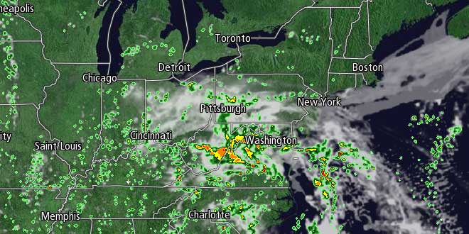
On Wednesday, a slow-moving storm system will finally put an end to a dry stretch that has lasted for about two weeks in most of Southern New England. Showers are likely, primarily in the afternoon, with the temperature in the upper 50s to low 60s. It will be damp and mild Wednesday night. The weakening storm system will still be close enough on Thursday to bring the threat of more rain showers. Once again, it looks like the best chance of rain is in the afternoon. Neither Wednesday or Thursday will be a total washout, but some rain is likely on both days.
There may be a break in the action on Friday as the center of low pressure scoots into Eastern Canada and dry weather briefly moves in as it departs. Highs will be near 70 on Friday with partly cloudy skies. Looking ahead to the weekend, a combination of two weather systems will bring rain back to Southern New England. A storm moving through the Ohio Valley will get swept up by an approaching cold front, and showers are possible Saturday and/or Sunday. Right now, the timing and interaction of these two systems is still in question, so it’s tough to pin down exactly when the rain will occur. We’ll continue to fine tune the forecast as the week progresses.


