Long Range Forecast – February 24

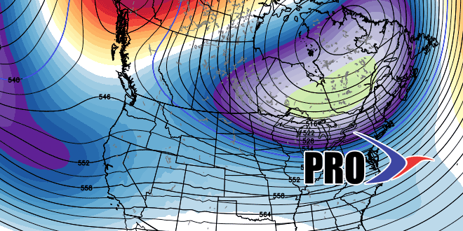
You may remember how emphatic I was about the snow/cold potential in late January and the first half of February. Now, in late February, I can unequivocally say it will be cold through the first 10 days, of March, but I am not as confident in the snow potential in Southern New England. There should be some snow between now and March 10, but it may not be the hyper-active pattern that brought accumulating snow every few days in the first three weeks of February.
Exhibit A in why I’m not sold on this being a snowy pattern is the Wednesday system. The European model had this system highlighted as a potential snow-maker for days, but it does not look like the jet streams will phase, and the southern branch system may not come far enough north for accumulating snow in SNE. After that, we turn our attention to the potential for snow on Saturday. The energy for that system is still in the Pacific Ocean, and it will traverse the US late in the workweek. Again, it is unclear if it will come together just right for there to be snow in SNE. Looking ahead to next week, it looks like Tuesday and then the weekend for snow potential in the Northeast.
While March averages about 6″ of snow, the odds of a big ticket event are relatively low. The last time there was more than a foot of snow in the Providence area was in 1999. There was an 11.6″ storm March 1-2, 2009, but monthly snowfall every other month since 2007 has been less than 6″.
To summarize, it will be cold with the potential for a 6″+ event in the next two weeks, but we’re not as gung-ho on the snow as we were earlier in the winter.


