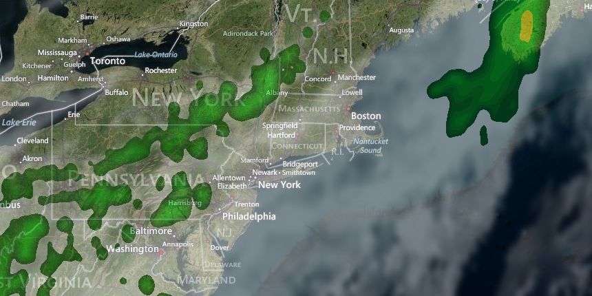
As expected, clouds were stubborn on Friday. The temperature climbed into the mid to upper 50s after scattered morning showers. Friday night looks cloudy and damp, with patchy fog and scattered showers, and lows in the low 50s. Saturday morning may be murky, and showers are still possible through late in the morning, but the clouds should thin during the afternoon. It will be relatively warm, with highs inland in the low 70s – even with just a bit of sunshine. If the clouds clear by midday, then inland locations could reach 80°. It will be cooler near the coast due to a gusty southwest breeze between 10-25 mph.

A few showers and/or thunderstorms are possible Saturday evening as a front pushes through New England. It will be a mild night, with lows in the mid 50s. Mother’s Day look fantastic, with plenty of sunshine and highs in the low to mid 70s both inland and near the coast with a westerly breeze.

It looks like it will stay relatively warm early next week before a back-door cold front cools it down quickly on Tuesday. Highs will be in the 70s inland again on Monday. The coast may stay in the 60s with an onshore breeze. Scattered showers and thunderstorms cannot be ruled out Monday afternoon.
The cold front will move through on Tuesday, and depending on the timing of the front, highs could range from the upper 50s to the 70s. At this point, we’re favoring the front getting through before the temperature rises above the low 60s in RI and SE MA. The cold front may be accompanied by clouds and a few showers, but dry weather is likely after it passes.
The middle of next week should be dry and pleasant, albeit a bit cool for mid-May. Highs will be in the upper 50s to low 60s with sunshine on Wednesday. Clouds will increase on Thursday as the temperature climbs into the low to mid 60s. Showers are possible late in the day, and there is a pretty good chance of rain next Friday.


