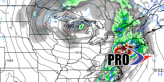
Long-Range Forecast – May 19

The cut-off low pressure system that we were concerned about bringing unsettled weather early this week is developing farther east than predicted in the Long-Range Forecast. The result is mainly dry weather with just a few pop-up showers – primarily in Eastern Massachusetts. Unfortunately, the wet weather system for late this workweek that we first advertised last week looks like it will come to fruition with rain likely Thursday, and lingering showers possible from time to time into the Memorial Day weekend.
Initially, it will be rather cool Thursday and Friday, but a gradual warming trend is likely over the weekend, and particularly on Memorial Day. Highs may not make it out of the 50s on Friday if the northeast breeze and low clouds persist. However, it may be well into the 70s, possibly even 80s, by Monday afternoon. Pop-up afternoon showers and storms are possible Saturday and Sunday afternoon.
The warm-up early next week will not continue building in the midweek. A cold front should move through Tuesday or Wednesday, and it will briefly turn cooler. The temperature will begin warming again by late in the week. At the same time, a storm in the Midwest will be heading east. It looks like the transition from May to June may come with rain showers in the Northeast.
Overall, we are not expecting any major extremes in the next couple of weeks, with a tendency toward warmer than normal weather. Precipitation-wise, it looks like it will be pretty close to normal with the best chance of rain Thu-Sun, and again late next week.


