Long-Range Forecast – June 17

The good news is it’s mid-June and I haven’t turned on the a/c yet this year. The not so good news is that we will most likely want to use it in the middle of this week. However, this is not the beginning of an extended stretch of muggy weather. In fact, it will only last for a couple of days before drier, more comfortable weather returns in the late-workweek.
The weather should be nice into the weekend. We will be watching a disturbance moving off the Mid-Atlantic coast Saturday night into Sunday. There is a chance it comes far enough north to threaten at least coastal SNE with showers. If it stays south, then the pleasant weather continues through Sunday.
A cold front will bring showers/thunderstorms on Monday. The wrinkle with that forecast will be if the front gets hung up along the coast and showers persists into the midweek. Right now, it looks like it may get offshore, but it bears watching.
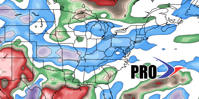
Overall, while there may be an occasional very warm and humid day, the pattern favors near normal temperatures in the next two weeks. The precipitation pattern is difficult to discern, and it will depend on the position of the boundary between hot/humid weather in the Southeastern US and relatively comfortable conditions in the Northeast or Eastern Canada. If the boundary drifts north, then we may see showers from time to time in the last week of the month.


