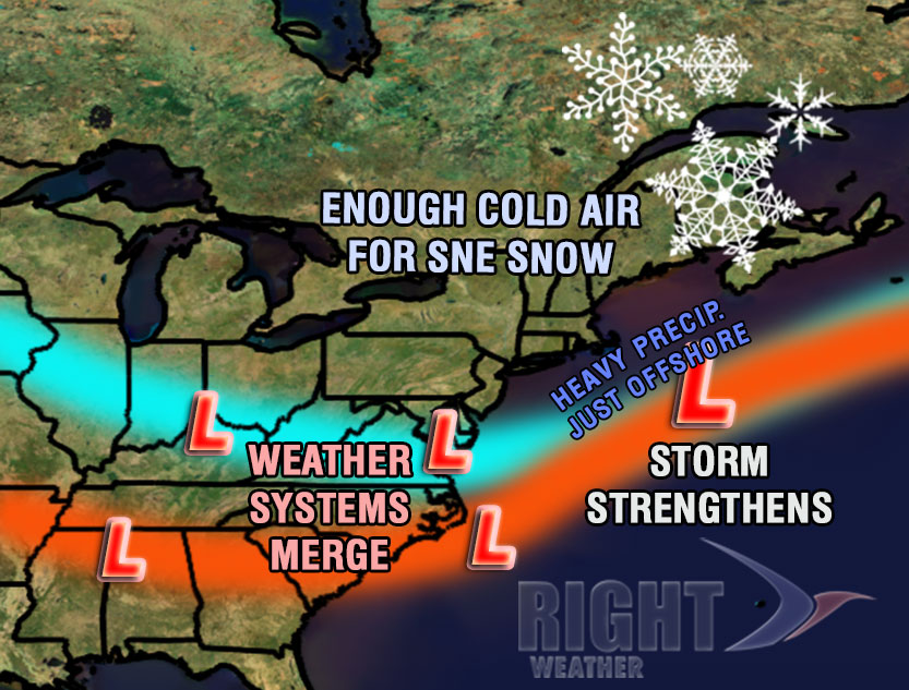
A 12-18 hour snowstorm will bring a moderate accumulation to a good chunk of Southern New England. The storm is a combination of two weather systems that will merge into one stronger storm and pass south of Nantucket. The storm will be a relatively quick-mover, which limits the potential for a major snowstorm. There is also some concern about rain or mixed precipitation from the coast of RI through Buzzards Bay and, especially, on Cape Cod and the Islands. All areas will see accumulating snow, but the spots that receive the heaviest precipitation are unlikely to be all snow for the whole event.
Storm Timeline
Saturday morning: Clouds thicken, temperature climbs from the mid 20s to the upper 20s to low 30s by 10 am.
Saturday midday: Snow, or a mix of rain/snow near the coast, develops from west to east across Southern New England between 11am-1pm. The snow should be relatively light at first, but recent cold weather means it could accumulate immediately on untreated surfaces.
Saturday afternoon: Snow continues inland. Snow, mixed precip., or rain continues near the coast. The snow will be light to moderate, and the temperature will range from the upper 20s inland to the mid 30s at the coast. The wind will begin to pick up near the coast to 10-20 mph by sunset.
Saturday evening: The height of the storm should occur between 7pm-1am in RI and interior SE MA. The height of the storm will be from late afternoon through mid-evening in CT. Moderate snow is possible in all of Southern New England by mid to late evening, and it will continue to accumulate, especially in the areas that started as snow. The greatest uncertainty is the precipitation type at the height of the storm from Westerly to Newport to New Bedford and Cape Cod. If it is all snow, those areas, especially from Newport to Falmouth, could see some of the highest totals from the storm. The wind will be 15-30 mph at the coast of RI and in coastal SE MA.


