Cold air will charge back in behind the storm as skies clear Tuesday night. The temperature will drop into the teens to mid 20s by Wednesday morning. Some icy spots are possible inland as slush and water freezes. Spring begins Wednesday at 7:02 am. Wednesday may be the nicest day of the week, but that’s not saying much! The high will only be near 40° with a gusty northwesterly breeze. It will be partly sunny.
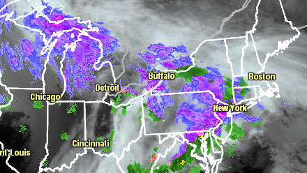
A developing storm in the Atlantic Ocean may through some snow at Southeastern New England Thursday afternoon into Thursday night. Right now, it does not look like a huge deal, but it bears watching. If the storm comes close enough to bring steady snow, it will be plenty cold enough after sunset for it to accumulate.
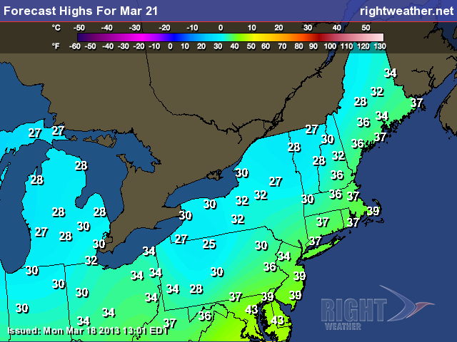
The weather will stay unseasonably chilly through the weekend. The normal high temperature is 50° by Friday, but there is not much chance of reaching that Friday through early next week. Highs Friday and Saturday will be near 40, and lows will be in the 20s. Both days should be dry and breezy. It may be a few degrees warmer on Sunday. Looking farther ahead, we’re eyeing another potential wintry storm early next week.


