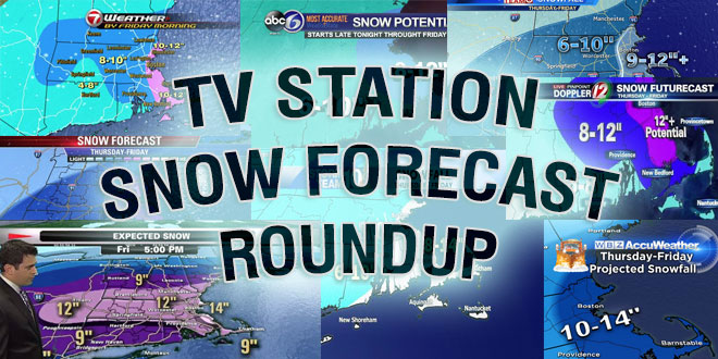
TV Station Snow Forecast Roundup

But wait, there’s more! Yet another snowstorm is heading for Southern New England, and this one may last for a couple of days. Accumulating snow will begin Saturday night, and it will likely continue off and on into Tuesday morning! The storm will not be particularly intense, but the long duration means the snow will definitely pile up. The question is “who will get the most?”. Check out some area media forecasts for their predictions. You can also get the Right Weather forecast here.
Where are we going to put all this #SNOW??? Didn't change much from @Klemanowicz, just increased amounts north! pic.twitter.com/E763A0MgPX
— Sarah Wroblewski (@sarahwroblewski) February 7, 2015
Unreal….here's the latest snow map. Some minor tweaks to last night's…increased totals some SE Mass. pic.twitter.com/XMC9Bqvf4L
— Eric Fisher (@ericfisher) February 7, 2015
like watching a train race through the backyard
I can not look away pic.twitter.com/0XgKh89yMo— Tim Kelley (@SurfSkiWeather) February 8, 2015
Here's what we're looking at right now. For timing go here: http://t.co/zj40IBMN3N @wpri12 pic.twitter.com/AUj3RHxJFc
— T.J. Del Santo ⚡🔭 (@tjdelsanto) February 7, 2015
https://twitter.com/cascioneabc6/status/564177909045141506
Lt. snow showers, but more moderate snow Sunday, heaviest Monday, followed by arctic air, and another storm Thu./Fri pic.twitter.com/LjlwenkRCj
— R.J. Heim (@NBC10_RJ) February 7, 2015
[Late Tonight – Tues Morn] Please RT! Winter Storm breakdown! High confidence @ 12-18" storm-total snow event pic.twitter.com/KoxtfjMDVc
— NWS Boston (@NWSBoston) February 7, 2015


