As expected, clouds were stubborn near the coast on Wednesday. There was warm sunshine inland. The clouds will move farther inland overnight. Patchy mist and fog is possible near the coast. Lows will be in the low to mid 60s.

Clouds may hang around the coast again on Thursday. There should be some sunshine inland. A weakening disturbance may trigger showers and thunderstorms in the afternoon, especially away from the coast. Highs will be in the 80s inland, and upper 60s to low 70s near the coast. The shower/thunderstorm threat diminishes Thursday evening. Skies will clear, and the temperature will fall to near 60 by dawn on Friday.
Friday will be a mostly sunny and warm day. It does not look as humid. Highs will be in the 80s inland, and 70s near the coast with a sea breeze. Lows will be in the low 60s Friday night. There may be some low clouds and fog by late at night.
Saturday will be another breezy, warm, and muggy day. Once again it will be 10-15° cooler near the coast compared to inland locations. Look for highs in the 80s inland, and upper 60s to low 70s near the coast. There should be hazy sunshine away from the coast. Clouds may be stubborn near the shore.
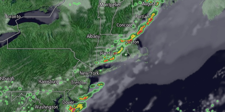
Sunday still looks unsettled. A slow-moving cold front will likely trigger widespread showers and thunderstorms during the day. The threat zone for showers and/or storms is from late in the morning through the afternoon into the evening. Highs will be in the 60s to mid 70s. Showers are also possible on Monday with highs in the 60s.


